Entry alerts
Fire on arrival — a trailer pulling into the yard, a toolkit returning to the shop, a delivery reaching the customer. Use when the question you want answered is "did it get there?"
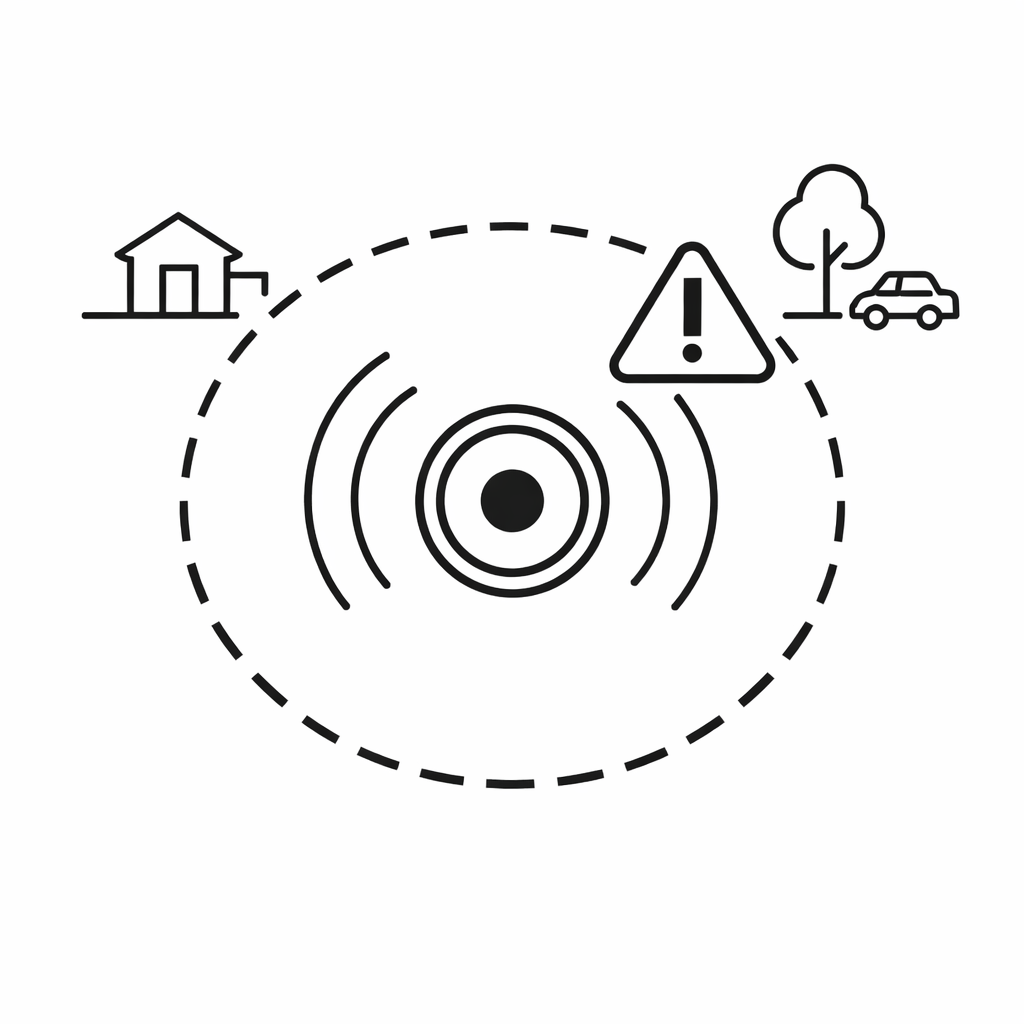
AirTag Geofence
AirTags don't support geofencing on their own. TagLogger adds entry and exit alerts for any location — no GPS tracker, no extra hardware.
Not with Find My alone. Apple's app doesn't expose AirTag geofencing as a feature. The closest it gets is "Notify When Found" and "Notify When Left Behind" — both tied to trusted personal locations, neither a real configurable boundary around any location you pick.
TagLogger fills that gap. Once an AirTag is linked, you can draw an AirTag geofence around any location — a yard, a job site, a home, a customer address — and TagLogger watches for the AirTag to cross the boundary. Cross it, get the alert.
A geofence is a virtual boundary around a physical location. An AirTag geofence links that boundary to one or more AirTags, so you find out when a tracked item arrives, leaves, or both — without staring at the map waiting for it.
Put another way: instead of the map being a thing you check, the map becomes a thing that tells you when something interesting has happened. An email or push lands when an AirTag crosses a boundary. You don't have to look for it.
The three options map to different operational questions. Pick the one that matches the response you actually plan to take.
Fire on arrival — a trailer pulling into the yard, a toolkit returning to the shop, a delivery reaching the customer. Use when the question you want answered is "did it get there?"
Fire on departure — a trailer leaving the yard at 2 AM, a tool box crossing the jobsite perimeter, a rental heading off in a direction the customer shouldn't be taking it. Use when the question is "did it leave when it wasn't supposed to?"
You can enable entry and exit on the same geofence, but one event type at a time gives a cleaner read in the first few days while the radius and tag selection settle. Turn both on once the boundary is well-tuned.
AirTag locations aren't GPS coordinates — they're inferred from whichever Apple device in the Find My network happened to relay the ping last. So the reported location can jitter by tens of meters depending on which nearby device picked it up, even when the AirTag hasn't actually moved.
Draw a 30-meter geofence, and the jitter alone will trip "exit" and "entry" alerts on a stationary AirTag every few hours. That's not a bug in TagLogger; that's just the relay network behaving the way it does.
So: start generous. A geofence that comfortably covers the real operating area — not just the tag's current resting pin — will behave. Tighten only if the alerts are arriving too loose. A tight boundary is almost always more noise than signal with AirTags.
GPS trackers support geofencing natively — they report their own GPS coordinates and fire alerts against a boundary stored in the tracker's platform. The tradeoff is cost: GPS trackers typically require hardware in the $50+ range per unit plus monthly cellular subscriptions per device.
AirTag geofencing through TagLogger trades the dedicated GPS signal for the scale of the Find My network — 1 billion+ Apple devices acting as the relay. Location accuracy is still good for most operational use cases, and the cost per tracked item drops significantly because there's no SIM, no cellular plan, and standard AirTag hardware works. For most "did it enter or leave this area?" questions, that tradeoff is worth it.
Set AirTag entry and exit alerts for yards, job sites, homes, or customer locations — no GPS tracker required.